Flatplanet’s expert GIS and digital cartography services are ideal for small companies and organizations that require occasional or project-based GIS capabilities in order to remain competitive. Our principal has over 15 years of GIS experience on some of the largest projects in the U.S. and is equipped with the latest GIS software and data.
More than Mapping
Our GIS consulting services are not limited to technical expertise: they are accompanied by significant knowledge in earth sciences, energy transmission projects, environmental permitting, cultural resource management and statistical analysis.
Selected Experience

Alliance Pipeline
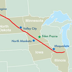
Designed and implemented GIS applications for the environmental impact statement submitted to the Federal Energy Regulatory Commission. The GIS was successfully used to inventory and characterize cultural and natural resources, direct field work, provide management support to subcontractors and inform state and federal agencies. At the time of construction, Alliance pipeline was the largest linear construction project in the U.S. covering 4 states and nearly 900 miles.

Lakehead Pipeline System Expansion II
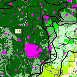
Designed and implemented GIS solutions for Lakehead pipeline’s SEP-II multi-state expansion. GIS applications used for this project included wetland inventory, soil characterization, threatened & endangered species inventory, cultural resource management, public relations and project management.

Archaeological Sensitivity at Camp Ripley
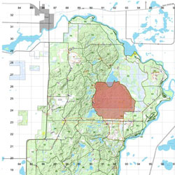
Predictive modelling of archaeological sensitivity model for MNARNG at Camp Ripley, Minnesota. Environmental and spatial variables were correlated and weighted against known archaeological sites. The model is currently used to direct environmental compliance work at the camp.

Northern Natural Gas – O&M projects
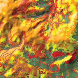
GIS support for State Agency Consultation and FERC Filing. GIS analysis included habitat modelling for threatened and endangered species, geology and soils, fisheries and wetland impacts.
Selected Presentations

Society for American Archaeology
Using Geophysical Survey and Complementary Datasets to Enhance the Precision and Quality of Site Evaluation.

International Symposium on Environmental Concerns in Right-of-Way Management
Application of GIS Technology to Manage Environmental Data for a Large Scale Interstate Pipeline Project.